


PH again tops World Risk Index over weather
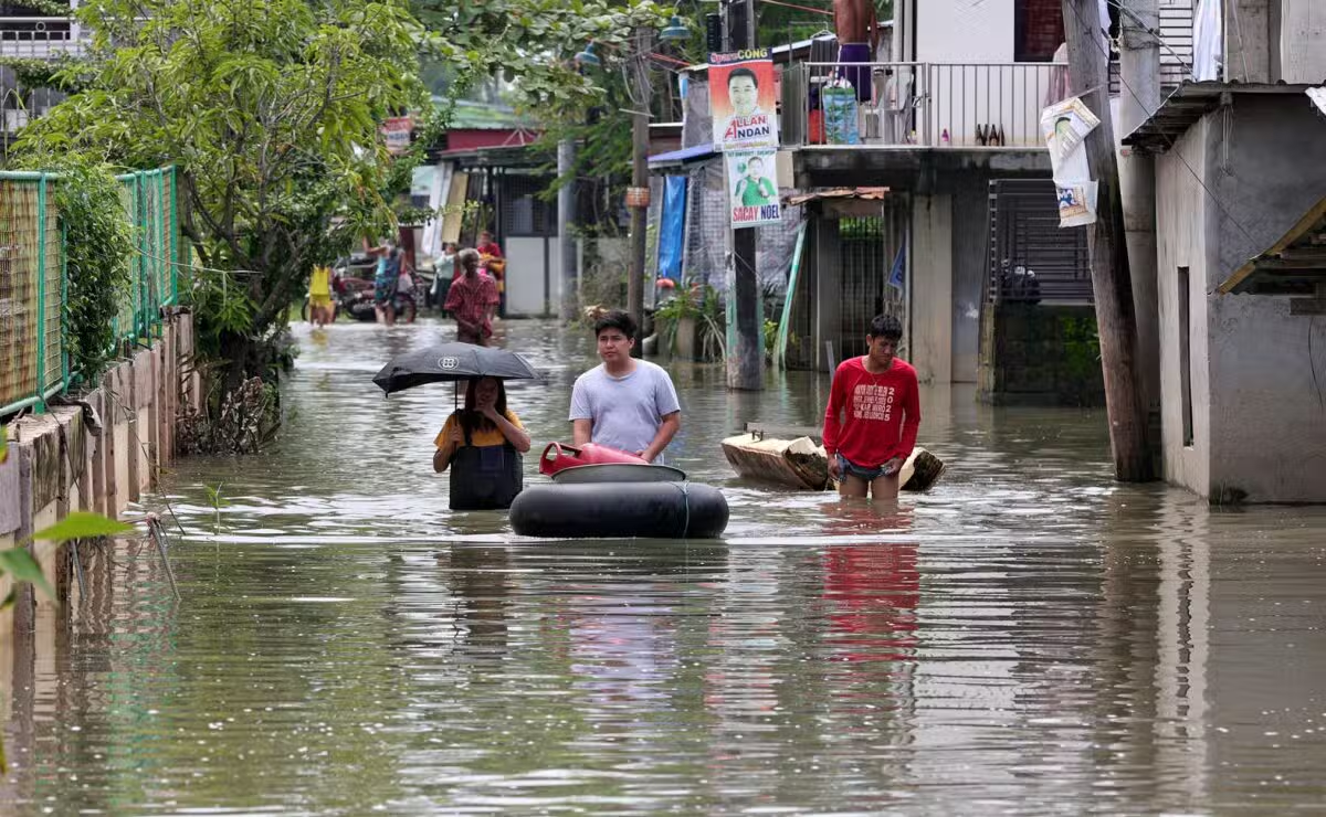
The Philippines has once again topped the World Risk Index for being exposed to extreme weather effects, most especially flooding.
The ranking came as the country was barraged by a series of revelations involving anomalies that plagued infrastructure projects meant to quell or at least minimize the effects of flooding in times of severe storms.
The World Risk Report 2025, published on Friday, discussed the disaster risk for 193 countries worldwide, covering all member states of the United Nations and over 99 percent of the global population.
This year, the report indicated that risk hot spots remain concentrated in the continents of Asia and the Americas, along with Africa, which it said “continues to show the highest levels of vulnerability worldwide.”
“The Philippines is once again at the top of the WorldRiskIndex this year: a country characterized by high geographic fragmentation and high exposure to weather-related extremes,” the report said.
The Philippines’ risk percentage was at 45.56, followed by India with 40.73; Indonesia, 39.80; Colombia 39.26; and Mexico, 39.96.
Also included in the Top 15 are Myanmar, Mozambique, Russia, China, Pakistan, Bangladesh, Papua New Guinea, Vietnam, Peru and Somalia.
Political solutions
Politically, the report said nations such as the Philippines, Bangladesh and Germany demonstrate the impact of good governance, “particularly through local networks and decentralized structures,” in mitigating extreme weather events.
The report explained how effective governance structures are “crucial” to a community’s ability to prepare for and respond to any potential flooding.
“Flood risks in the Philippines vary significantly from region to region and are influenced by geography, infrastructure and spatial planning,” the report read.
In the case of the Philippines, the report ranked provinces by a single methodological unit, wherein they share a location in lowland basins with flat topography and wherein water drains “slowly and often remains standing for days.”
These provinces include Cagayan, which had the highest exposure to these risks at 88.10 percent, followed by Agusan del Norte with 87.51; Pangasinan, 85.19; Pampanga, 83.49; Maguindanao, 82.94; Metro Manila, 81.12; Camarines Sur, 75.77; Misamis Oriental 73.66; Camarines Norte, 72.69; and Isabela, 71.23.
It noted that the provinces of Cagayan and Agusan del Norte are “particularly vulnerable” due to the combination of long main rivers, dense tributary systems and extensive coastlines.

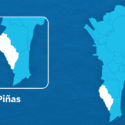
On the other hand, the provinces of Marinduque, Laguna, Batanes and Sarangani also face quite a different challenge.
“These regions lack large river systems; small catchment areas and natural drainage reduce flood risks despite their proximity to the coast,” the report noted.
Manila, meanwhile, was described by the report as a city located in a low-lying, densely populated river plain, which is also crossed by the Pasig River, “and covered by a heavily regulated canal network.
The report stressed that the high degree of soil sealing would promote urban flash flooding in times of heavy rainfall, while Laguna, on the other hand, benefits from the hilly terrain and the buffering of the Laguna de Bay.
“It acts as a natural retention area that absorbs excess water and releases it slowly,” it said.
Like its fellow Southeast Asian nations of Vietnam and Myanmar, the Philippines has high population density, with exposed locations and intense monsoon cycles that would converge.