


The neighborhood with a triple bottom line
(First of two parts)
The massive loss of lives and widespread devastation of communities in Cebu and Eastern Visayas, caused by the recent floods, have further heightened public awareness of the destructive consequences of poor urban planning and ineffective flood control measures.
This once again presents an opportunity to propose better approaches to urban planning and development, with a particular focus on the basic building block of towns and cities—the neighborhood.
My attempt here to contribute to something “better” focuses on deepening the understanding of the physical forms and patterns of neighborhoods, and the impact they have on the character and quality of life, place, and community. I also seek to heighten awareness of their environmental implications, as well as the opportunities they present for land, air, water, and habitat within these patterns.
Because I also deeply care about the quality and vitality of social and economic life, I consider the environment not only as a context but also a partner in the planning and design of neighborhoods.
Improper planning, design
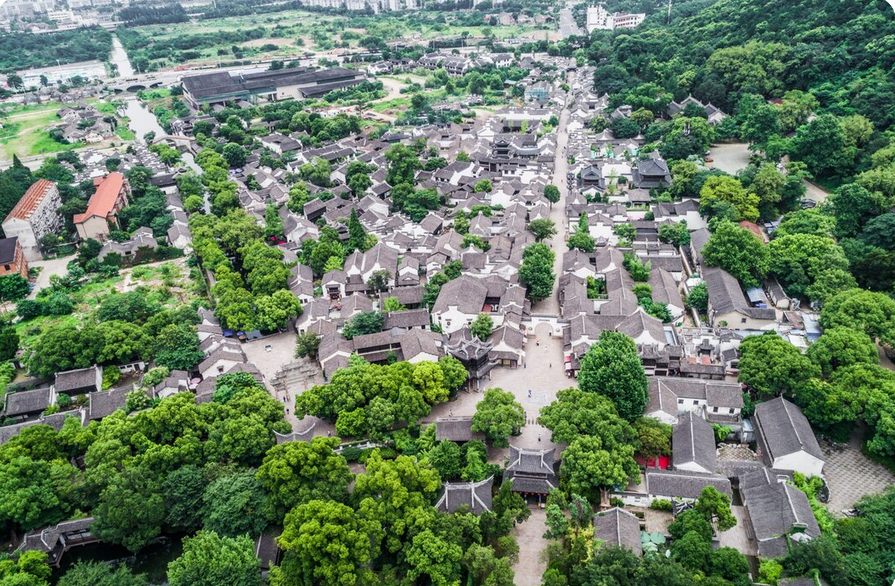
Many of our existing neighborhoods, especially those inundated by the recent floods, experience the negative consequences of improper planning.
Natural features are removed to make way for development–forested areas are cleared, rivers and creeks are channelized, floodplains and river basins are built upon, wetlands are filled, and topography is leveled.
Natural resource lands have been forever lost, or new developments have cut them into smaller, less productive fragments, with significant environmental and economic consequences–like those experienced during the recent flooding.
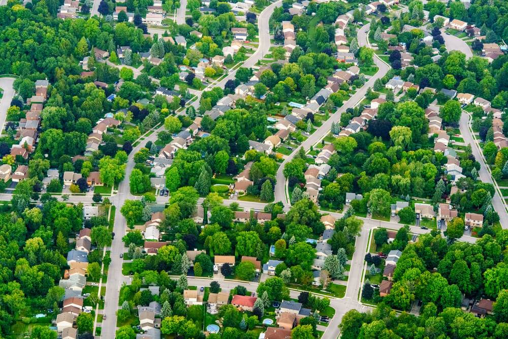
Livability
Dispersed land uses also diminish livability. Schools, shops, and recreational areas are located far apart and often separated from residential neighborhoods by wide, high-speed roads.
Travel distances increase while pedestrian safety decreases, making it difficult to live without motor vehicles. Designed for fast-moving traffic, most streets have travel lanes that contribute to accidents. Pedestrian and bicycle facilities—if they exist—are often substandard and unsafe.
As people are forced to drive more, fossil fuel consumption increases, which in turn affects air quality. The bigger consequence of all this driving is the rise in greenhouse gases and the acceleration of global warming, which leads to more frequent and stronger typhoons.
Water resources and water quality in urban areas have also declined. Typical suburban development dramatically increases impervious surfaces such as pavements, roofs, and parking lots, making these areas more prone to flooding.
Destination of choice
Nonetheless, the suburbs remain the destination of choice for many people.

Building this ever expanding suburban landscape has become the dominant real estate development pattern of our time. The challenge for many towns and cities is how to slow the rate of outward growth and encourage more compact, pedestrian-friendly environments that consume less land and offer transportation choices beyond the motor vehicle.
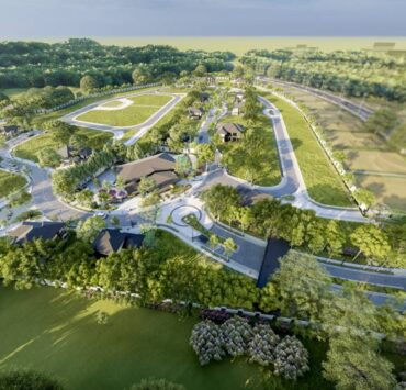
The neighborhood as building block
In addressing this challenge, a good approach is to use the neighborhood as the basic scale and starting point, as it is the most prevalent scale and the most ubiquitous form of urbanization.
At this scale, we can focus on the role and the opportunity of the environment–land, air, water, and vegetation–in shaping development forms and patterns. It is at this neighborhood scale that we have the opportunity to make tangible, positive contributions to the everyday built environment that most of us experience daily.
New neighborhoods commonly form where natural systems of environment and landscape meet human priorities of land use and transportation. They form where the spatial priorities of urban design and architecture meet the engineering and economic priorities of public works and real estate.
(To be continued)
The author is an architect-urban planner, a fellow emeritus of both the United Architects of the Philippines (UAP) and the Philippine Institute of Environmental Planners (PIEP), and the Principal Urban Planner of CONCEP Inc.