Cagayan de Oro boosts flood warning capacity

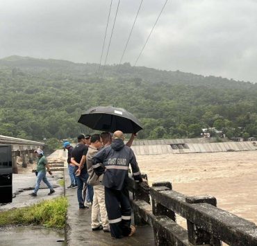
CAGAYAN DE ORO CITY—In light of the flooding in Metro Manila due to the onslaught of Supertyphoon “Carina” (international name: Gaemi), the local government here is ramping up efforts to strengthen its flood warning capability, especially that many of its villages are low-lying and prone to inundation.
Nick Jabagat, chief of the city disaster risk reduction and management department (CDRRMD), said they were nearing the completion of a comprehensive disaster risk assessment for each of the city’s 80 villages.
So far, 67 village-level risk assessments have been done with the rest due for completion before the end of the year, Jabagat added.
Based on the vulnerability assessment of the Mines and Geosciences Bureau of the Department of Environment and Natural Resources, 61 of the city’s villages are exposed to the risk of flooding. The risk was “very high” in 34 villages, “high” in 18 and “moderate” in nine.
The CDRRMD assessment, according to Jabagat, takes a more “granular” approach, pinpointing particular zones and even corners in every village so that flood advisories can be very specific.
Apart from the village-level assessment, Jabagat pointed to the vital role of a flood forecasting system that the local government is setting up with the help of the Philippine Atmospheric, Geophysical and Astronomical Services Administration and the Japanese government.
The forecasting system is capable of estimating the potential rain volume of a given cloud formation, he explained. Radar and related equipment are to be installed at the rooftop of City Hall and in three other locations.
Tracking rainfall
Jabagat also cited the need to track the rainfall in areas that although outside its administrative territory, feed runoff that drains into the city, especially Talakag, Manolo Fortich, Baungon and Libona towns in Bukidnon province.
The four Bukidnon towns are part of the Cagayan de Oro River watershed, along with some villages of Lanao del Sur province, Iligan City and Misamis Oriental province.
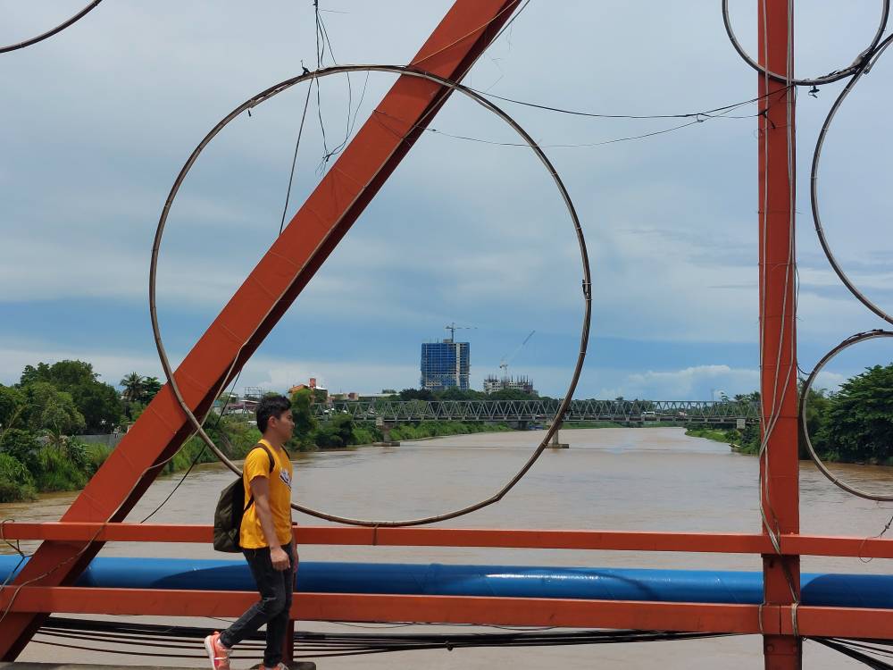
Although a large channel, the river swells from extremely heavy downpours such as in December 2011 due to Tropical Storm “Sendong” (Washi) that dumped 180.9 millimeters of rain in 24 hours, higher than the average December rainfall of 117 mm. From a normal height of 2 meters, the water level climbed to over 9 meters.
The flooding that time submerged 41 of the city’s 80 villages, killing 969 people, displacing some 230,000 others and damaging some P2-billion worth of properties.
Today, a 2.3-km flood control dike built with funding from Japan protects a long stretch of riverside communities. But Jabagat said flood control infrastructure was only part of mitigating measures.
“Let’s also consider controlling the negative environmental impact of forest denudation, land conversion and mining operations in the upland areas,” Jabagat pointed out.


