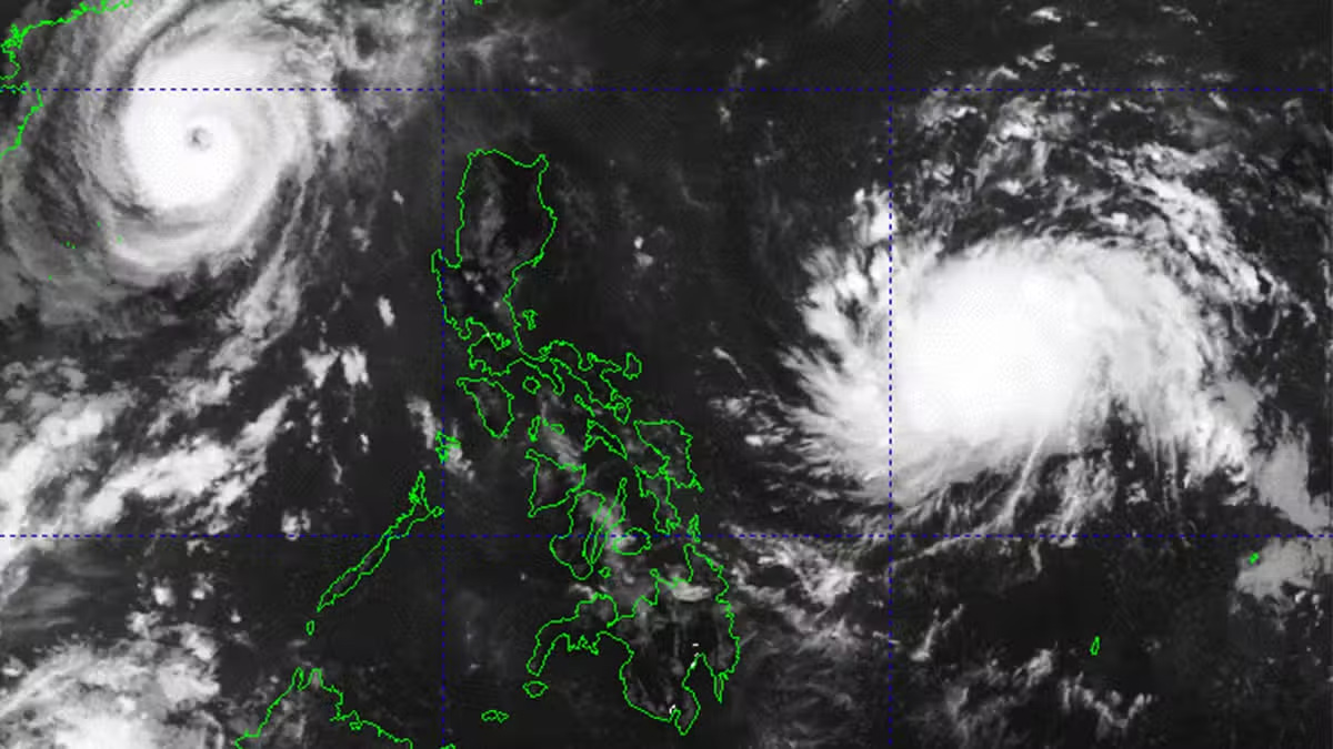
‘Nika’ prompts Signal No. 1 in Luzon areas

The Philippine Atmospheric, Geophysical and Astronomical Services Administration (Pagasa) on Saturday raised Wind Signal No. 1 over seven provinces in Luzon after a low pressure area (LPA) east of Luzon developed into a tropical storm locally named “Nika.”
Based on the state weather bureau’s afternoon forecast, Nika (international name: Toraji) was located 760 kilometers east of Virac, Catanduanes, with a wind speed of 65 kilometers per hour (kph) near the center and gusts of up to 80 kph.
Nika is projected to hit land in the province of Isabela or Aurora by Monday when it is expected to further strengthen into a severe tropical storm.
“Regardless of the position of the landfall point, it must be emphasized that hazards may still be experienced in areas outside the landfall point,” said senior weather specialist Maria Glaiza Escullar.
Tropical Cyclone Wind Signal No. 1, indicating “strong winds,” was hoisted over the provinces of Catanduanes, Camarines Norte, Camarines Sur, Albay, Aurora, Isabela and Quezon, including Polillo Islands.
Pagasa warned residents in these areas that Nika could bring “moderate to heavy” rains on Sunday.
But for those in Apayao, Isabela and Cagayan provinces, rains are forecasted to pick up strength and accumulated rainfall could reach more than 200 millimeters by Monday to Tuesday afternoon.
“Heavy to intense” rain may be felt in the northern provinces of Abra, Kalinga, Ilocos Norte, Ilocos Sur, Mountain Province, as well as in Aurora.
Meanwhile, another LPA was spotted 2,700 km east of northeastern Mindanao outside the Philippine area of responsibility. The possibility of this developing into typhoon is not ruled out, Escullar said.
Nika is the 14th tropical cyclone to hit the country this year and the second for the month of November. Up to two more tropical cyclones are expected to hit the country up to next month, according to Pagasa’s earlier estimates.


