


Designing with flooding
Designing for flooding involves a multi-scale, multidisciplinary approach.
Our current systems reveal how deeply interconnected our actions are—from household plumbing to city infrastructure. Dysfunction in a single component—such as incorrect plumbing designs or clogged city sewers—can already exacerbate urban flooding.
When waterways, creeks, and rivers become clogged or even buried, they can no longer fulfill their vital role of draining stormwater. Each poorly maintained element impacts the whole, compounding the risk in urban environments.
Urbanization and flood management
Understanding how urbanization has shaped today’s flood risks helps us address them holistically.
Our utilization of river resources, historical patterns of settlement, and ongoing changes to natural landscapes all play a role. By studying both the city and its natural context, we find opportunities for stakeholders and multiple disciplines to intervene and work together in reducing flood vulnerability.
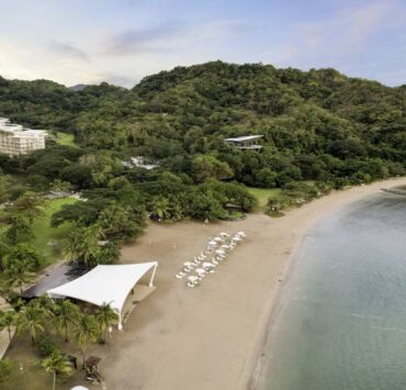
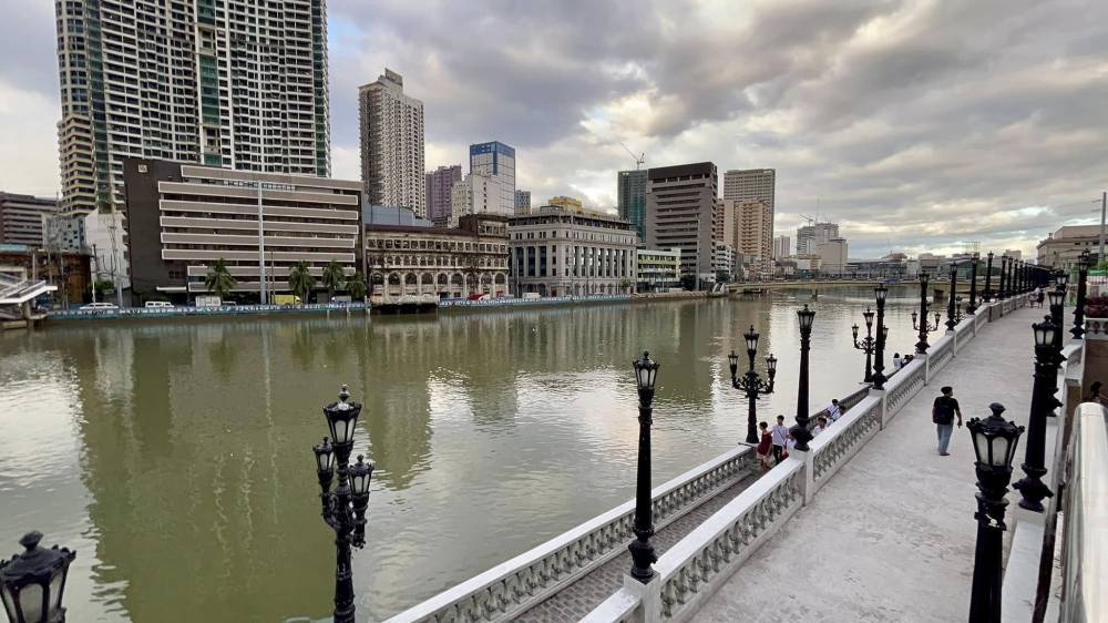
River cities: The foundation of settlements
Early human settlements flourished along rivers, drawn by the promise of water, food, and transportation.
Fertile floodplains, created by seasonal silts, supported agriculture. Rivers acted as trade routes, linking communities and nurturing coastal port cities. In the Philippines, key cities like Manila arose at river mouths—Pasig River for Manila, Pampanga River for San Fernando, and Cagayan River for Tuguegarao, among others.
But as urbanization accelerated, planning for sustainability and flood adaptation struggled to keep pace.
Watershed management: The big picture
Central to flood understanding and response is knowledge of the watershed—a land area defined by how water drains across uplands, midlands, lowlands, and coastal areas, encompassing headwaters, tributaries, floodplains, and outlets like rivers and lakes.
Recognizing a site’s characteristics—its place in the watershed, topography, land cover, and climate—enables designs that support positive watershed management. Conversely, poor practices like unchecked logging in the uplands or excessive grading in midlands can have disastrous impacts.
Flooding in parts of Quezon City
Flooding in parts of Quezon City is closely tied to ongoing deforestation in the upland areas of Rizal, particularly in Rodriguez, Antipolo, and San Mateo.
These areas form a critical section of the Sierra Madre watershed, which naturally slows and absorbs rainfall before it flows into the lower urban plains.
Large-scale tree removal drastically reduces the land’s capacity to retain and filter rainwater. As a result, more stormwater rushes downstream during heavy rains, causing rivers such as the Marikina and Tullahan to exceed capacity and overwhelm drainage systems.
Within Quezon City, flood-prone neighborhoods like Commonwealth, Payatas, San Bartolome, and Bagong Silangan are particularly vulnerable to these effects. These low-lying communities lie within the same watershed and floodplain system connected to the rapidly changing uplands of Rizal.
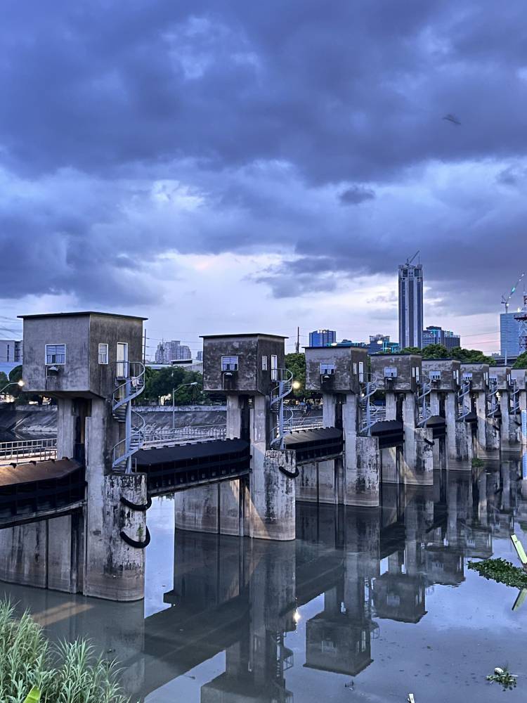
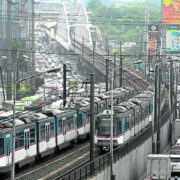
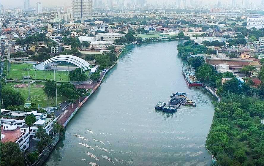
Infrastructure for flood mitigation
Major infrastructure initiatives have been developed to address large-scale flooding, including the Parañaque Spillway, Manggahan Floodway, and Pasig-Marikina River improvements.
The Laguna de Bay Basin Master Plan (2016–2026) and the Manila Bay Sustainable Development Master Plan support land use integration and climate resilience. As these projects unfold, it is vital that infrastructure planning prioritizes ecological health and community well-being.
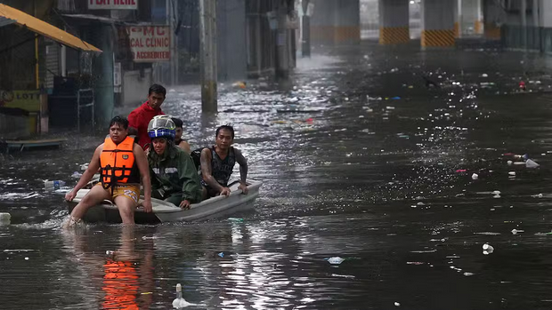
The heavy rainfall brought by Typhoon Crising and the habagat (southwest monsoon) highlights the challenges posed by rapid urbanization and the limitations of existing flood mitigation systems in managing natural forces.
As Ar. EnP. Armando Ali, former chair of the Professional Regulatory Board of Architecture (PRBOA), explained: “The National Capital Region (NCR), covering roughly 62,000 hectares of floodplain with clayey soil, naturally retains water. However, overbuilding and extensive paving reduce the land’s ability to absorb water and accelerate surface runoff, leading to severe flooding—particularly when excess water cannot drain during high tides.”

Blue-green infrastructure
Modern flood management increasingly draws on blue-green infrastructure and nature-based solutions.
These approaches marry the ecological benefits of wetlands, bioswales, and rain gardens with urban design, restoring natural hydrology while reducing runoff and urban heat. By integrating features like permeable pavements, retention ponds, and riparian buffers, communities can achieve climate adaptation, flood mitigation, and enhanced biodiversity simultaneously.
Urban design for flood resilience
Effective, flood-resilient urban design starts with intelligent site selection.
If development in flood-prone areas is unavoidable, it’s critical to elevate roads and buildings above expected flood levels, and assign multi-use roles to public spaces—such as parks that double as retention basins.
Consistent enforcement of zoning regulations and the use of flood maps in planning and building codes are essential. Participatory design ensures that solutions reflect the community’s needs and cultural context.
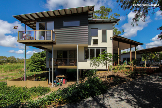
Designing Homes in Flood-Prone Areas
Designing homes in flood-prone areas requires a combination of architectural and material strategies to enhance resilience.
Techniques such as stilt houses, amphibious architecture, and elevated foundations are commonly employed to keep the living spaces above flood levels. The use of flood-resistant materials that resist rotting and deterioration is essential. Integrating rainwater harvesting and detention systems can improve the sustainability and self-sufficiency of these spaces.
People yearn to live in cities that are safe and adaptive to flooding. Solutions crafted by generations of planners and designers must not be neglected. When efforts align, the arrival of the next typhoon is no longer a cause for despair, but a reminder of the shared responsibility to act and adapt.