


The shape of water through urban design
Cities worldwide are rewriting the rules of flood resilience.
Rather than trying to control water outright, urban planners now adapt landscapes and infrastructure to absorb, divert, and coexist with rising volumes. This shift in mindset has redefined engineering from static barriers to dynamic, multi-functional systems.
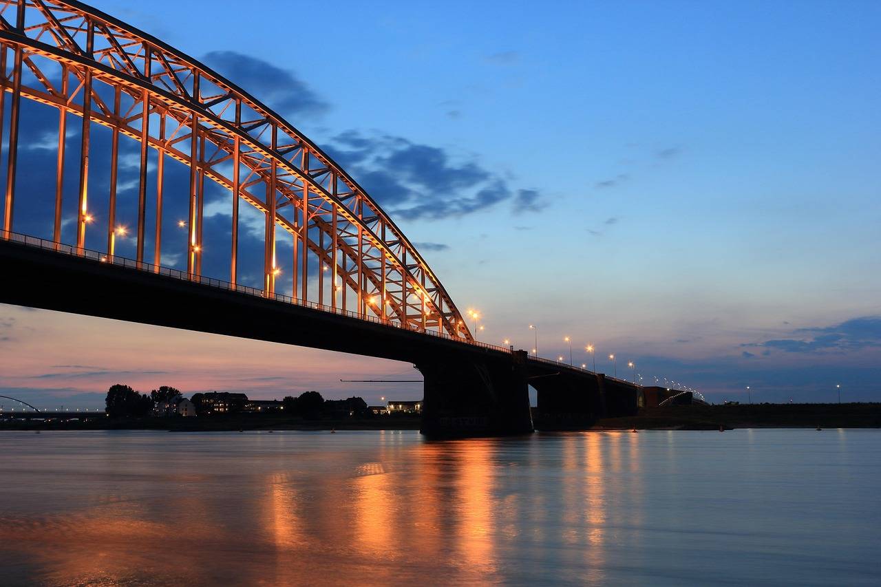
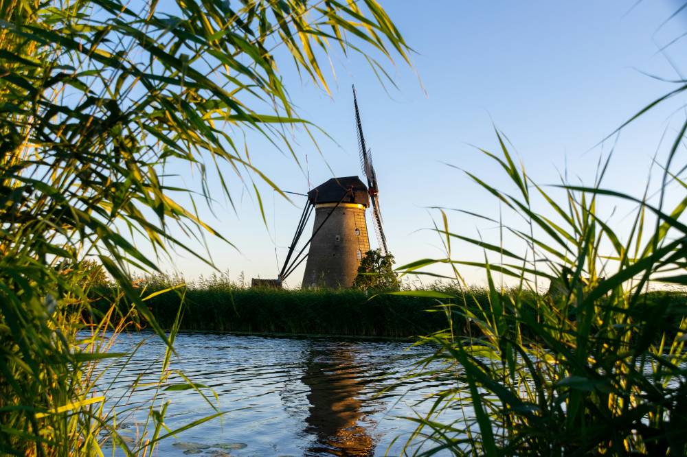
The Netherlands reimagines the edge
The Dutch are synonymous with water mastery, and their Room for the River program exemplifies forward-thinking adaptation.
Instead of endlessly reinforcing levees, The Netherlands carved out extra floodplains, deepened riverbeds, and relocated dikes to allow rivers to swell safely. This intentional surrender of space transformed flood risk into spatial opportunity, enabling cities like Nijmegen to reconnect with their riverfront while enhancing biodiversity and livability.
Today, parks, walking paths, and natural vegetation thrive in areas once reserved solely for engineering.
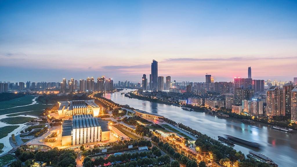
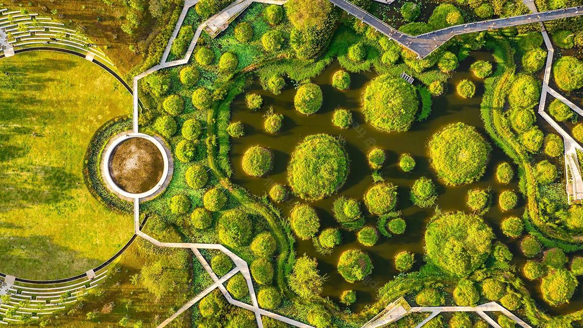
Asia builds with the rain
In China, the Sponge Cities initiative integrates permeable pavements, green roofs, wetland parks, and retention ponds into the urban matrix.
Once plagued by heavy monsoon inundations, Wuhan now functions like a catchment ecosystem. These designs delay, filter, and harvest water. The target is to retain up to 70 percent of rainfall within the urban environment.
Southeast Asian cities like Bangkok and Jakarta have also begun exploring similar green infrastructure. However, their complexities require stronger governance and integrated planning to match the pace of urban growth.
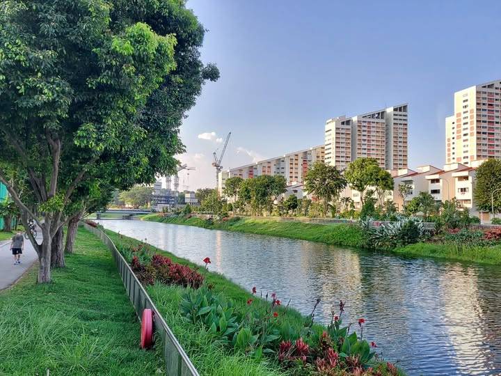
In Singapore, the ABC Waters Programme converts canals and reservoirs into scenic yet functional waterways, blending utility and placemaking with refined coherence.
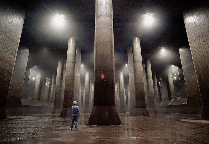
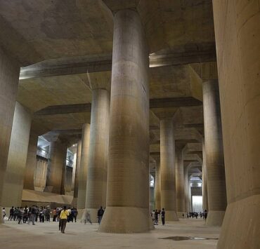
The data-driven defense of Japan
Japan’s underground flood tunnels, like the G-Cans Project in Saitama, demonstrate a vastly different response scale. These huge underground systems channel stormwater into five large silos and a 6.3-mile tunnel during typhoons.
Beyond size, what makes Japan’s approach extraordinary is its predictive synchronization.
Real-time data, weather models, and early warning systems determine when and how to deploy hidden arteries. The system can pump up to 200 cubic meters of water per second into the Edo River. This fusion of civil engineering and live information systems is becoming a global benchmark for high-risk zones.
America learns from disaster
Post-Katrina New Orleans offers a cautionary tale and a lesson in adaptive reconstruction. The city rebuilt its levee systems and invested in community-led planning, wetlands restoration, and better zoning enforcement.
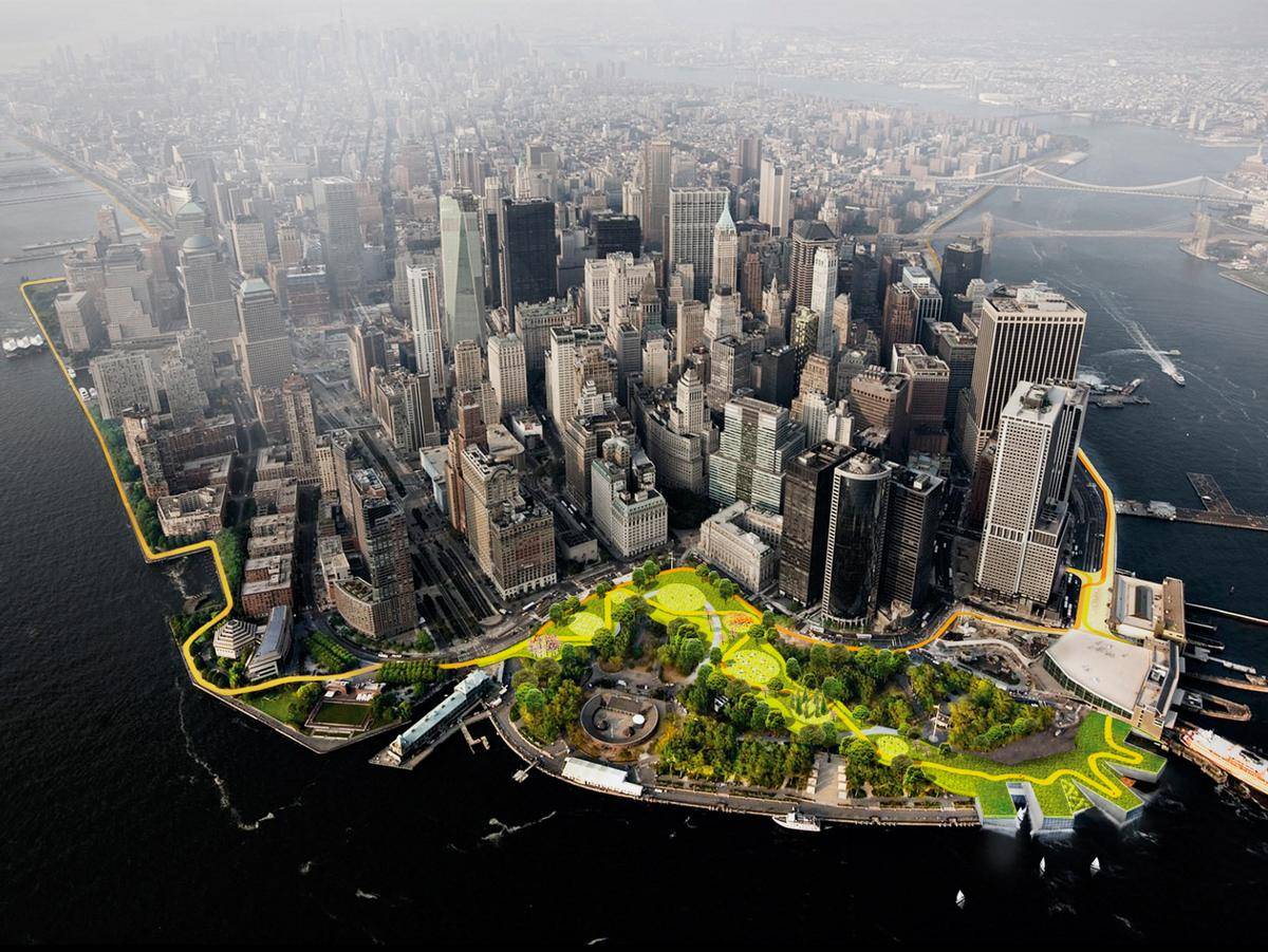
After Hurricane Sandy, New York introduced strategies such as the Big U, a 10-mile protective park system encircling lower Manhattan. Seawalls function as recreational promenades in this design, raising defenses and public experience.
Miami and Boston have also begun designing berms, elevated streets, and deployable barriers in anticipation of future surges.

Lessons for Philippine cities
Metro Manila, Cebu, and Davao face interconnected risks involving heavy rainfall, rapid urban expansion, and overburdened drainage infrastructure.
While elevating roads and constructing catch basins are familiar responses, global case studies point to the value of deeper integration.
Urban catchments must combine technology, ecology, and community intent. Zoning and land use plans require proper enforcement to prevent settlements in hazard-prone zones. Real flood resilience demands a systemic rethink, from building codes to cultural attitudes about water.
Emerging solutions such as river park corridors, elevated public walkways, and flood-adapted housing can become viable strategies with appropriate foresight and public investment. Decision-makers and communities need improved access to flood maps and early warning systems enhanced by digital tools.
A future that learns to soften
Flood management succeeds through attentive design. The world’s most effective strategies emerge from systems that embrace flexibility, slow runoff, and restore long-erased hydrological patterns.
Cities that soften their surfaces, restore wetlands, and place water at the center of their planning logic evolve with strength. The objective shifts from resisting water to choreographing it.
Through this choreography, cities preserve their identity, reinforce their systems, and prepare for a climate future already arriving.